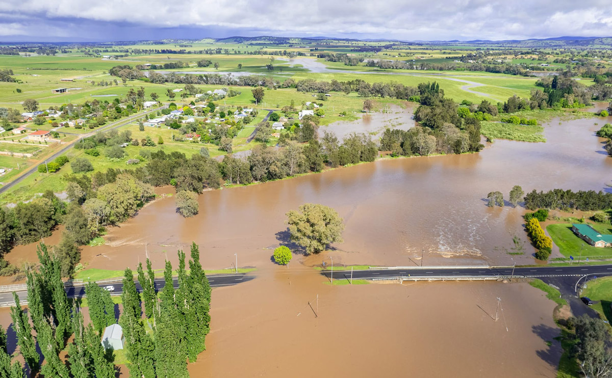
Farmpix Photography were on hand to take stunning aerial photos over Canowindra of the November 1st flood event. Image credit: Farmpix Photography
Wild weather thrashed Canowindra and surrounding towns in the early hours of Tuesday, 1st November.
Over 50mm rain fell on the already swollen river system, cutting all roads surrounding Canowindra, excluding Orange Road.
The John Grant Bridge was closed at 9.30am on Tuesday, November 1st with a peak of 5metres predicted, higher than the flood of 2010.
Flash flooding also affected Molong, Cudal and Blayney. Areas of Cowra and Cootamundra were evacuated.
Damage to homes and rural properties was also reported with several trees down across the villages blocking roads. Local schools encouraged students to stay home to avoid travelling on affected roads.
Wyangala Dam increased its release to 100,000 megalitres per day to cope with the increase of water coming from the surrounding river systems.
The Canowindra SES urges people to call triple 000 In case of an emergency. Stay out of rising flood waters and seek refuge in the highest available place.
Prevent damage to your vehicle by moving it undercover and away from areas likely to flood.
To avoid being swept away, stay out of creeks and waterways. Never drive or walk through flood water as it can be deceptive and dangerous.
NSW SES Canowindra Unit will update their Facebook page in the event of an emergency, and more information can be found on the NSW SES website www.ses. nsw.gov.au. For live traffic updates go to www.livetraffic.com and for the latest NSW weather warnings visit www.bom.gov.au
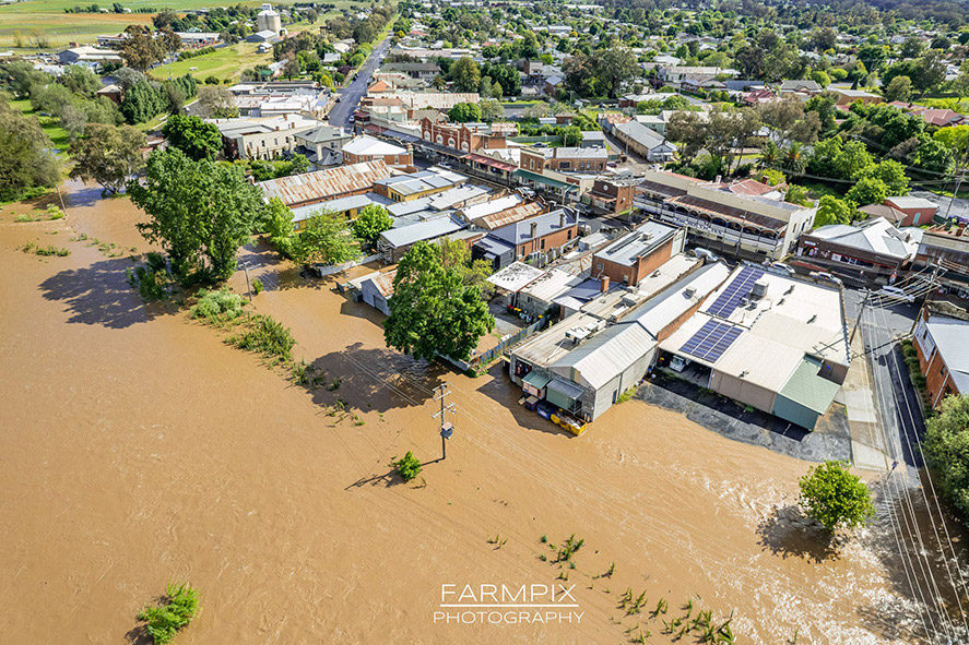
Record levels of floodwater reaching Canowindra’s main street shops. All images courtesy of Farmpix Photography.
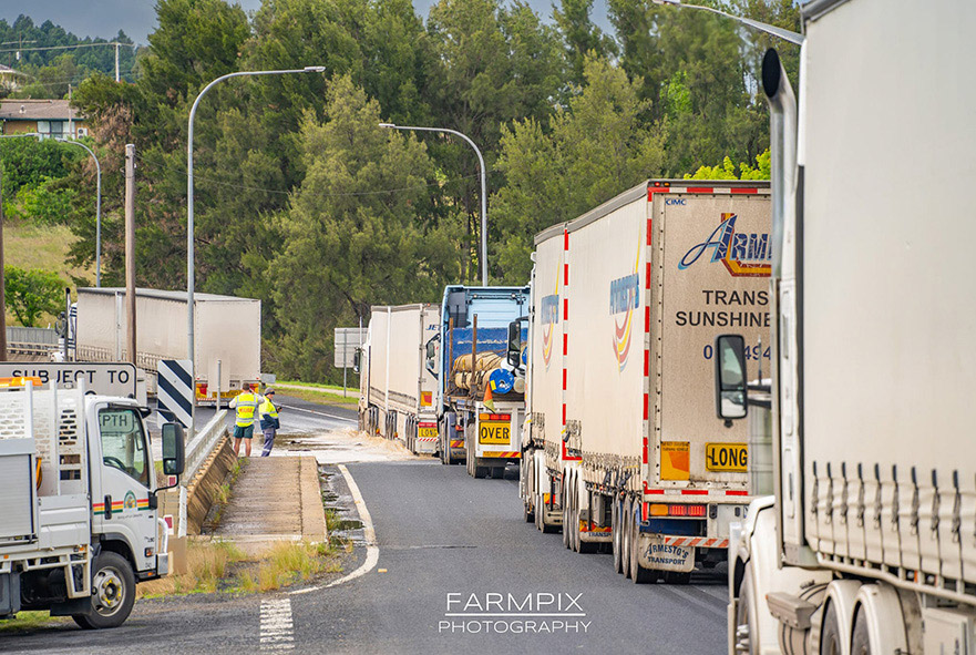
Road closures causing traffic havoc across the region.
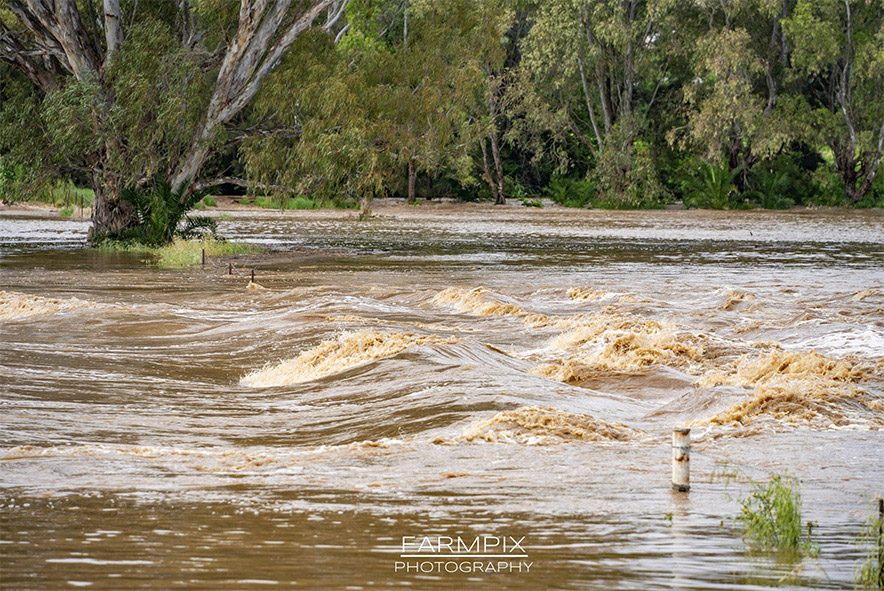
The flood waters
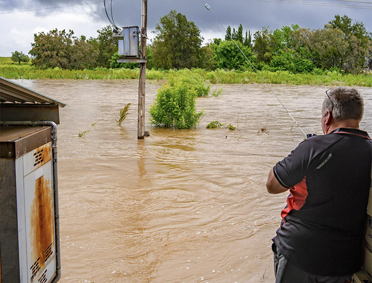
Peter Watt watches the rising floodwater at the back of Lawrence’s IGA.